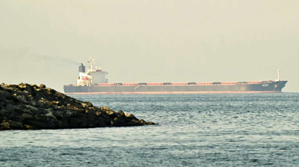
Why have 1,000 ships at times lost their GPS in the Mideast? / Photo: Giuseppe CACACE - AFP/File

The global positioning system (GPS) capabilities of cargo ships, oil tankers and other vessels stuck in the Middle East because of the widening war are likely worse than those in your cell phone.
Experts say this deficiency explains why since the start of US-Israeli strikes, the jamming of satellite navigation signals has left about 1,000 ships in the Gulf and the Gulf of Oman unable to determine their location, either momentarily or continuously.
Dimitris Ampatzidis, a senior risk and compliance analyst for the energy market intelligence firm Kpler, told AFP the number represents about half of the vessels in the area.
The vast majority of those ships are located off the United Arab Emirates and Oman.
A satellite navigation system is made up of a constellation of satellites that send signals with the time to Earth, allowing the receiver to determine its precise location.
Modern smartphones receive signals from four groups of satellites: the American, European (Galileo), Russian (GLONASS) and Chinese (BeiDou) Global Navigation Satellite Systems (GNSS).
Most cell phones now use two GPS frequency bands -- one that is older and fainter, and a second that is newer and stronger.
But "many ships only listen to the original civilian GPS signal, which is called the L1 C/A signal. It's the one that's been around since the early 1990s for civilian use," Todd Humphreys, an engineering professor at the University of Texas at Austin, told AFP.
Most ships are thus unable to rely on the BeiDou or Galileo systems in the event that a GPS is jammed.
The situation is even worse for airplanes, due to aviation regulations.
"You will not find any aircraft flying in the world today whose built-in GPS receiver is capable of tracking and interpreting signals other than the GPS L1 C/A. So it's out of date by 15 years," Humphreys said.
- Spoofing -
Jamming a GPS signal is "not that complicated," said Katherine Dunn, the author of an upcoming book of the history of GPS, "Little Blue Dot."
All one needs is "another radio transmitter that can broadcast on the same frequency, but louder," she said, which creates "a wall of mush."
Spoofing is more sophisticated -- and more dangerous, affecting a ship's Automatic Identification System, or AIS.
Every vessel transmits a message per second over a universal radio frequency that announces its identity, destination and position.
Spoofing manipulates that system, causing the affected ship to send a fake, or even nonsensical, location -- meaning that ships could appear to be on land in Iran or the Emirates.
- Clocks -
Today, GPS signals are not just used to determine location; they also power onboard clocks, radar systems and speed logs, Dunn said.
So even if the ships off the Emirates or Kuwait were protected from drone fire and escorted through the Strait of Hormuz, navigating without a GPS would be perilous.
"Given the size of the ships, electronic assistance has become necessary to steer them," said one merchant marine captain who has sailed on cargo ships around the world.
Crews must "resort to using 20th-century instruments -- radar or visible landmarks," he told AFP on condition of anonymity.
- Defensive jamming -
Signal jamming is undoubtedly being used both offensively and defensively. Gulf states are directing their systems towards their own shores to ward off Iran's satellite-guided Shahed drones -- at the cost, deemed acceptable, of disrupting their own lives.
Israel did the same thing in 2024, as did Iran after its 12 days of conflict with Israel last year.
"Even if their own air traffic or maritime traffic or their delivery drivers or their dating apps are affected by GPS jamming and spoofing, they'll do it, just like Israel did. Israel did it for a year in 2024," Humphreys said.
For air and sea navigation, start-ups are developing alternative technologies using Earth's magnetic field or inertial navigation.
But for ships today, navigating without a GPS is still far in the future.
(O.Joost--BBZ)